


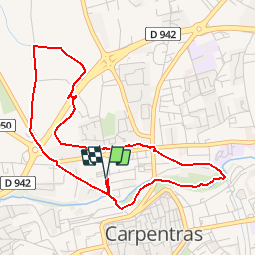

17,1 km | 18,7 km-effort


Benutzer


Kostenlosegpshiking-Anwendung
 SityTrail
IGN / Geografische Institute
SityTrail World
Die Welt öffnet sich für Sie
Tour Wandern von 4,9 km verfügbar auf Provence-Alpes-Côte d'Azur, Vaucluse, Carpentras. Diese Tour wird von clanglume vorgeschlagen.
Rando agréable à faire le long du canal au nord de Carpentras. Départ et retour au Parking de la Roseraie.
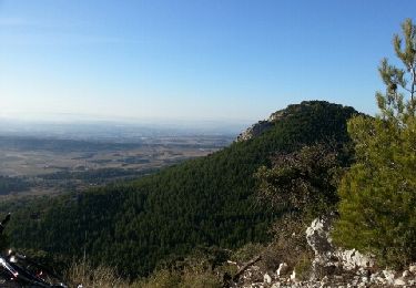
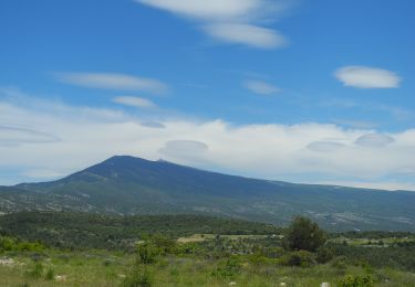
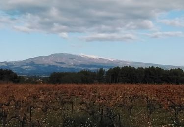
Wandern
Wandern
Wandern
Mountainbike
Wandern

Rennrad
Wandern

Wandern

Wandern