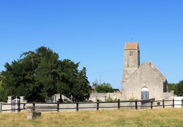
8,6 km | 9,4 km-effort
Balade dominicale avec Simon.
slyb14
Benutzer
Länge
20 km
Maximale Höhe
112 m
Positive Höhendifferenz
116 m
Km-Effort
22 km
Min. Höhe
23 m
Negative Höhendifferenz
146 m
Boucle
Nein
Erstellungsdatum :
2023-11-26 10:06:32.0
Letzte Änderung :
2023-11-26 11:57:41.702
Kostenlosegpshiking-Anwendung
Über SityTrail
Tour von 20 km verfügbar auf Normandie, Calvados, Le Castelet. Diese Tour wird von slyb14 vorgeschlagen.
Ort
Land:
France
Region :
Normandie
Abteilung/Provinz :
Calvados
Kommune :
Le Castelet
Standort:
Saint-Aignan-de-Cramesnil
Gehen Sie:(Dec)
Gehen Sie:(UTM)
698810 ; 5439971 (30U) N.
Kommentare
Touren in der Umgebung
41b_les_eoliennes-6844076-1676016099-46
Nordic Walking
Sehr leicht
(1)
Moult-Chicheboville,
Normandie,
Calvados,
France
Unbekannt
Ja
Au Coeur des Parcs Eoliens
Zu Fuß
Einfach
Valambray,
Normandie,
Calvados,
France
12,5 km | 13,3 km-effort
3h 1min
Ja
La Vallée de Conteville
Zu Fuß
Einfach
Le Castelet,
Normandie,
Calvados,
France
7,4 km | 8,2 km-effort
1h 51min
Ja
Autour de la Butte Saint-Laurent
Zu Fuß
Einfach
Moult-Chicheboville,
Normandie,
Calvados,
France
5,8 km | 6,3 km-effort
1h 25min
Nein
Autour de Poussy-la-Campagne
Zu Fuß
Einfach
Valambray,
Normandie,
Calvados,
France
5 km | 5,3 km-effort
1h 12min
Ja
# 1 - Entre Plaine et Marais à Chicheboville
Wandern
Einfach
Moult-Chicheboville,
Normandie,
Calvados,
France
5 km | 5,4 km-effort
1h 12min
Ja
Mystère des disparus de Chicheboville
Wandern
Einfach
Moult-Chicheboville,
Normandie,
Calvados,
France
5,5 km | 5,9 km-effort
1h 18min
Ja
Bretteville sur Laize / Urville
Zu Fuß
Einfach
(1)
Bretteville-sur-Laize,
Normandie,
Calvados,
France
15,3 km | 18 km-effort
4h 5min
Ja