


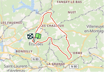

13,1 km | 17 km-effort


Benutzer


Kostenlosegpshiking-Anwendung
 SityTrail
IGN / Geografische Institute
SityTrail World
Die Welt öffnet sich für Sie
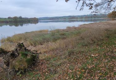
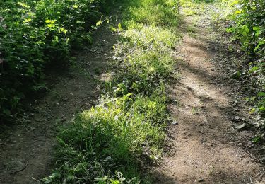
Tour Wandern von 14 km verfügbar auf Burgund und Freigrafschaft, Saône-et-Loire, Écuisses. Diese Tour wird von pensionisten71 vorgeschlagen.
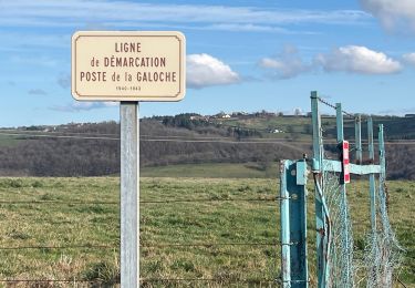
remplace la rando Ecuisses 2023 car le gps n'a pas fonctionné les 900 premiers mètres mais le tracé a été fait sur le terrain.
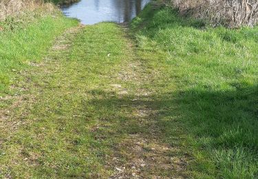
belle rando pas difficile.choisir un jour sans pluie.
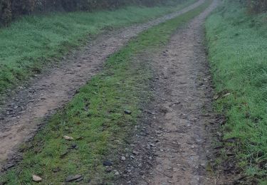
le temps de marche ne devrait pas excéder 3h25
Wandern
Wandern
Wandern

sport
Wandern
Wandern
Wandern
Wandern

Zu Fuß