


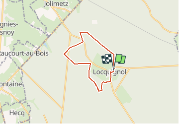

9,7 km | 10,9 km-effort


Benutzer


Kostenlosegpshiking-Anwendung
 SityTrail
IGN / Geografische Institute
SityTrail World
Die Welt öffnet sich für Sie
Tour Wandern von 9,1 km verfügbar auf Nordfrankreich, Nord, Locquignol. Diese Tour wird von corsinou vorgeschlagen.
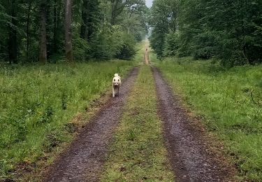
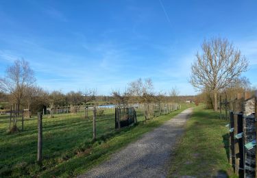
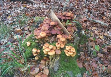
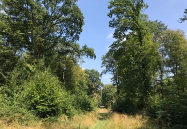
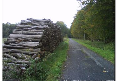
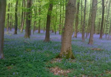
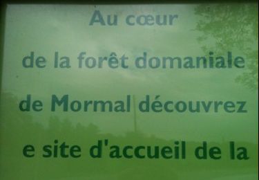
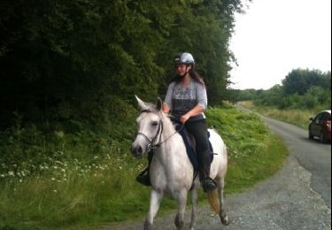
Départ au restaurant " Chez Mado " route de Berlaimont pour une rando facile en pleine forêt, en étant discret vous pourrez admirer la faune très abondante et vous pourrez vous ressourcer chez Mado
Wandern
Wandern
Wandern
Wandern
Wandern
Pferd
Pferd
Wandern
Fahrrad