


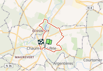

19,4 km | 22 km-effort


Le mercredi c'est rando


Kostenlosegpshiking-Anwendung
 SityTrail
IGN / Geografische Institute
SityTrail World
Die Welt öffnet sich für Sie
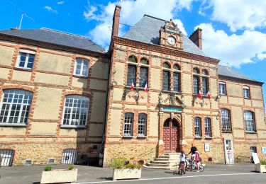
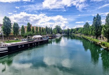
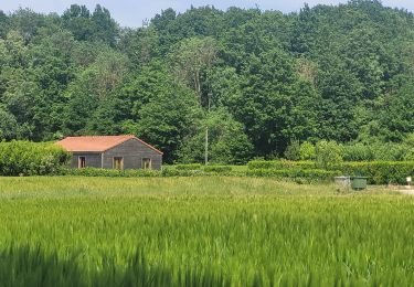
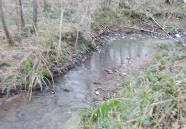
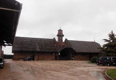
Tour Wandern von 10,3 km verfügbar auf Île-de-France, Seine-et-Marne, Chaumes-en-Brie. Diese Tour wird von Randos du mercredi vorgeschlagen.
boucle simplifié de 10 kms, possible de 15 Kms
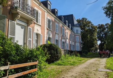
Fait le tour du chateau du Vivier
Wandern
Wandern
Wandern
Wandern

Wandern
Wandern
Wandern

Wandern
Wandern