


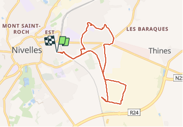

12,8 km | 15 km-effort


Benutzer


Kostenlosegpshiking-Anwendung
 SityTrail
IGN / Geografische Institute
SityTrail World
Die Welt öffnet sich für Sie
Tour Wandern von 8 km verfügbar auf Wallonien, Wallonisch-Brabant, Nivelles. Diese Tour wird von Mady Lambert vorgeschlagen.
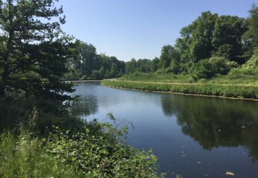
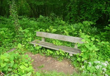
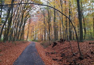
Champs, petits sentiers, beaucoup de verdure, un peu de routes. Beaucoup de liberté pour les chiens. Bonnes chaussures indispensables.

Wandern

Wandern

Wandern

Wandern

Wandern

Wandern
Wandern
Nordic Walking
Wandern