


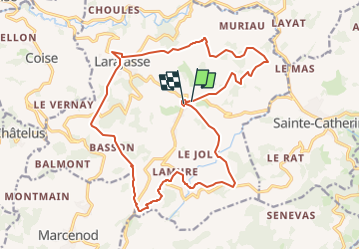


16,8 km | 24 km-effort


Benutzer


Kostenlosegpshiking-Anwendung
 SityTrail
IGN / Geografische Institute
SityTrail World
Die Welt öffnet sich für Sie
Tour Zu Fuß von 21 km verfügbar auf Auvergne-Rhone-Alpen, Rhône, Larajasse. Diese Tour wird von grange69 vorgeschlagen.
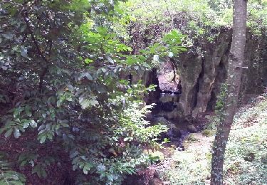
Départ du village de l'Aubépin ensuite direction St Pierre , le village de Larajasse , le Village de Lamure et retour à L'Aubépin.

Wandern
Wandern
Wandern
Nordic Walking
Mountainbike
Wandern
Wandern
Wandern
Wandern