


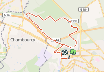

10,7 km | 13,7 km-effort

Benutzer


Kostenlosegpshiking-Anwendung
 SityTrail
IGN / Geografische Institute
SityTrail World
Die Welt öffnet sich für Sie
Tour Nordic Walking von 10,5 km verfügbar auf Île-de-France, Yvelines, Saint-Germain-en-Laye. Diese Tour wird von etouchon vorgeschlagen.
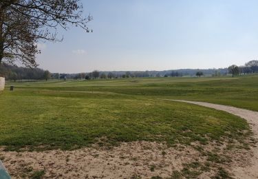
Forêt de Saint Germain en Laye par le château d’Hennemont, centre hippique de la jonction, lisière Péreire, Golf de Saint Germain en Laye, Porte de Chambourcy et retour vers la route des Princesses, Porte de Beaumont.

Wandern
Wandern
Wandern

Wandern

Wandern
Wandern
Wandern
Wandern

Wandern