


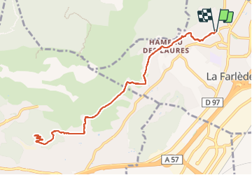

13,1 km | 19,5 km-effort

Benutzer


Kostenlosegpshiking-Anwendung
 SityTrail
IGN / Geografische Institute
SityTrail World
Die Welt öffnet sich für Sie
Tour Wandern von 12,4 km verfügbar auf Provence-Alpes-Côte d'Azur, Var, La Farlède. Diese Tour wird von FSantoni vorgeschlagen.
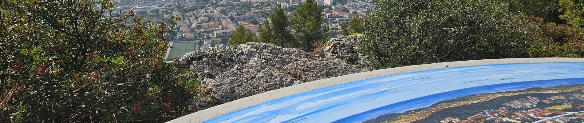
Peu de temps dispo ce samedi, juste assez pour cette rando trés moyenne, et avec peu d'interet si ce n'est la table d'orientation qui surplombe toute la rade de Toulon.


Wandern

Wandern

Wandern

Wandern

Wandern

Pfad

Pfad

Pfad

Wandern