


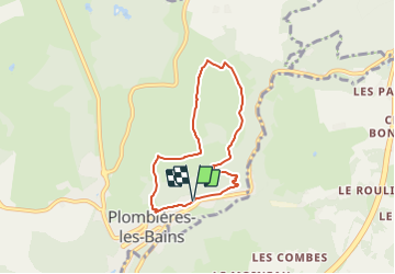


7,9 km | 10,2 km-effort


Benutzer


Kostenlosegpshiking-Anwendung
 SityTrail
IGN / Geografische Institute
SityTrail World
Die Welt öffnet sich für Sie
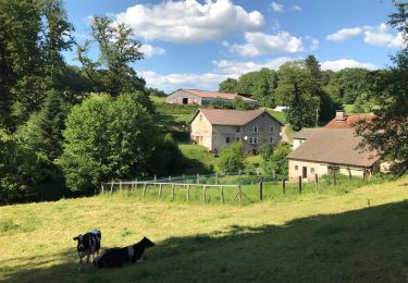
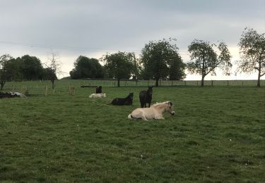
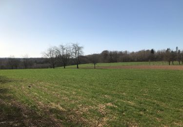
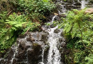
Tour Wandern von 5,8 km verfügbar auf Großer Osten, Vogesen, Plombières-les-Bains. Diese Tour wird von Emmanuel Remy vorgeschlagen.
La Chapelle de la Vierge des Champs, campée au sommet d'une colline verdoyante, porte bien son nom. Avec son toit en laves du pays, elle s'intègre parfaitement au paysage.
Wandern
Wandern
Nordic Walking
Reiten
Wandern
Reiten
Wandern
Wandern
Wandern