


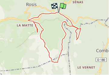

11,3 km | 20 km-effort


Benutzer


Kostenlosegpshiking-Anwendung
 SityTrail
IGN / Geografische Institute
SityTrail World
Die Welt öffnet sich für Sie
Tour Wandern von 11 km verfügbar auf Okzitanien, Hérault, Rosis. Diese Tour wird von SoleilMoussanais vorgeschlagen.
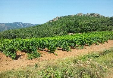
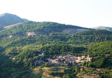
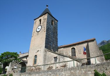
A proximité de Rosis (Hérault), traversée de la forêt des Ecrivains Combattants, tombe mégalithique, traversée du hameau de Madale, tour de la Serre de Cabrière. Beaux points de vue sur les gorges de Madale, de Colombières et le Moulin de la Fage.

Wandern

Wandern
Wandern

Wandern

Wandern
Wandern

Wandern

Wandern
Zu Fuß