


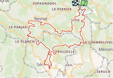

31 km | 41 km-effort


Benutzer


Kostenlosegpshiking-Anwendung
 SityTrail
IGN / Geografische Institute
SityTrail World
Die Welt öffnet sich für Sie
Tour Mountainbike von 29 km verfügbar auf Neu-Aquitanien, Corrèze, Beynat. Diese Tour wird von Gpoujade vorgeschlagen.
Rando octobre Rose 2023 : Boucle au départ du lac de miel à Beynat vers Sérilhac , ancienne voie du Tacot, Beynat

Mountainbike
Mountainbike
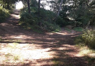
Wandern
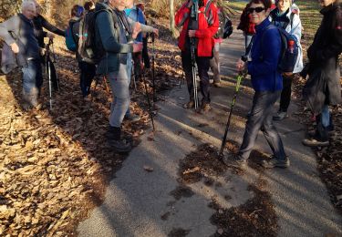
Nordic Walking

Wandern
Wandern
Wandern

Nordic Walking
Wandern