


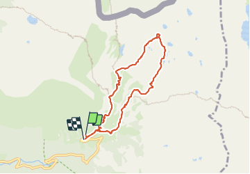

13,3 km | 20 km-effort

Benutzer


Kostenlosegpshiking-Anwendung
 SityTrail
IGN / Geografische Institute
SityTrail World
Die Welt öffnet sich für Sie
Tour Wandern von 7,6 km verfügbar auf Provence-Alpes-Côte d'Azur, Seealpen, Saint-Martin-Vésubie. Diese Tour wird von bozo1970 vorgeschlagen.
Départ de la Madone
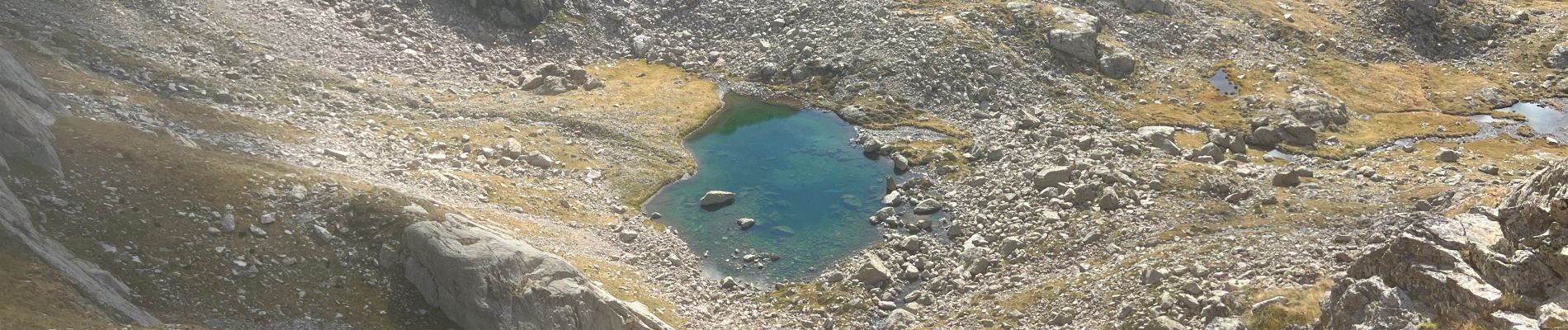
Montée par le collet du lac de Fenestre
Descente dans le vallon sur le premier lac
Retour par le gras Cabret et le GR 52


Wandern

Zu Fuß

Wandern

Wandern

Wandern

Zu Fuß

Zu Fuß

Zu Fuß

Wandern