


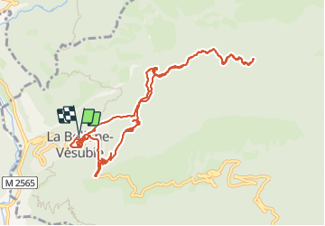

16,6 km | 33 km-effort


Benutzer


Kostenlosegpshiking-Anwendung
 SityTrail
IGN / Geografische Institute
SityTrail World
Die Welt öffnet sich für Sie
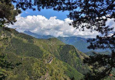
Tour Wandern von 12,3 km verfügbar auf Provence-Alpes-Côte d'Azur, Seealpen, La Bollène-Vésubie. Diese Tour wird von montagne06 vorgeschlagen.
A la devouverte de la chapelle st sauveur sur des jolies sentier non balisés a la bollene vesubie

Wandern
Wandern

Zu Fuß

Zu Fuß
Wandern

Wandern
Wandern
Wandern
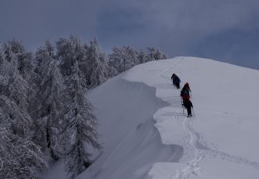
Schneeschuhwandern