


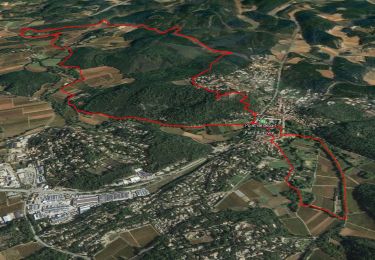
15,3 km | 19,9 km-effort

Benutzer GUIDE


Kostenlosegpshiking-Anwendung
 SityTrail
IGN / Geografische Institute
SityTrail World
Die Welt öffnet sich für Sie
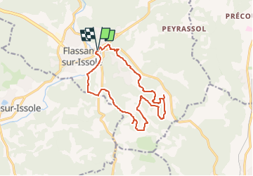
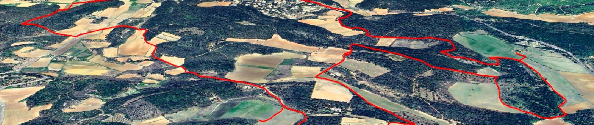
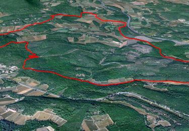
Tour Wandern von 15,5 km verfügbar auf Provence-Alpes-Côte d'Azur, Var, Flassans-sur-Issole. Diese Tour wird von affinetataille vorgeschlagen.
30-11-16
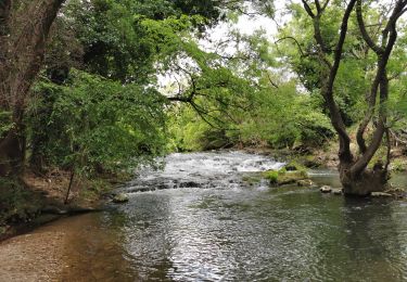
Rando GR1 dont l'objectif est la découverte du lac Redon, une mare temporaire comme il en existe peu en Méditerranée.
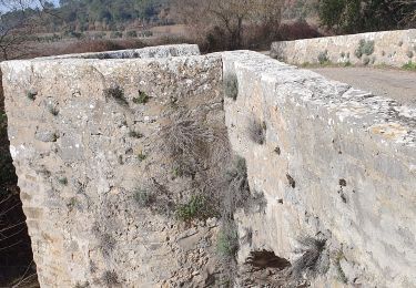
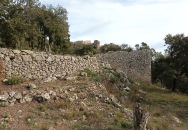
Parcours sans difficultés avec un peu de pistes goudronnées, mais bon, on fait avec.
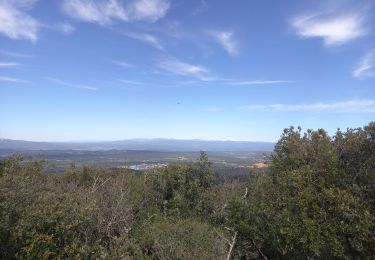
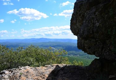
Belles couleurs d'automne.


21 Fotos insgesamt. Klicken Sie auf ein Foto, um sie alle in der Galerie zu sehen.
Wandern
Wandern
Wandern
Wandern

Wandern
Wandern
Wandern
Wandern

Wandern