


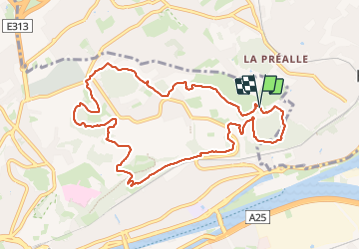


4,2 km | 6 km-effort

Benutzer GUIDE


Kostenlosegpshiking-Anwendung
 SityTrail
IGN / Geografische Institute
SityTrail World
Die Welt öffnet sich für Sie
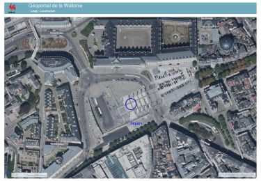
Tour Wandern von 9,9 km verfügbar auf Wallonien, Lüttich, Lüttich. Diese Tour wird von stef789 vorgeschlagen.
tu va passer sur ou près des terrils
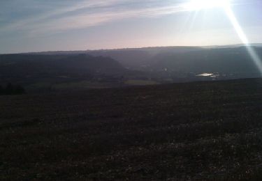
* batterie nouveau
* batterie ancien
* banneux ancien
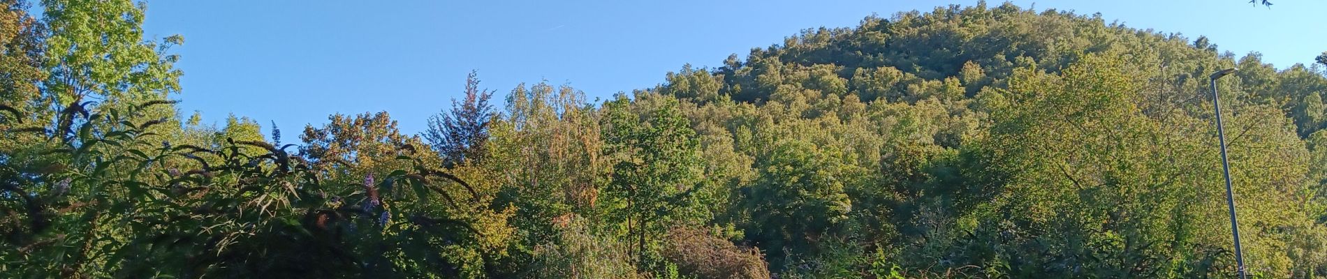
* berlaimont et son frère * belle vue


Wandern

Wandern

Wandern

Wandern
Wandern

Nordic Walking
Wandern
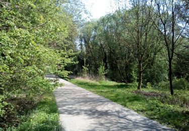
Wandern
Wandern