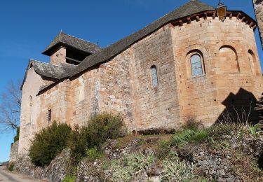
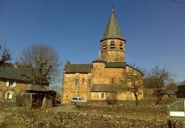
14,5 km | 19,9 km-effort
Coudournac
Lacaze
Benutzer
Länge
9,1 km
Maximale Höhe
667 m
Positive Höhendifferenz
229 m
Km-Effort
12,1 km
Min. Höhe
556 m
Negative Höhendifferenz
207 m
Boucle
Nein
Erstellungsdatum :
2015-01-23 00:00:00.0
Letzte Änderung :
2015-01-23 00:00:00.0
5m
Schwierigkeit : Unbekannt
Kostenlosegpshiking-Anwendung
Über SityTrail
Tour Andere Aktivitäten von 9,1 km verfügbar auf Okzitanien, Aveyron, Bozouls. Diese Tour wird von Lacaze vorgeschlagen.
Beschreibung
Départ place de Coudournac
via St Affrique du Causse
Ort
Land:
France
Region :
Okzitanien
Abteilung/Provinz :
Aveyron
Kommune :
Bozouls
Standort:
Unknown
Gehen Sie:(Dec)
Gehen Sie:(UTM)
481890 ; 4923436 (31T) N.
Kommentare
Touren in der Umgebung
De Bozouls à Rodelle
Zu Fuß
Einfach
Bozouls,
Okzitanien,
Aveyron,
France
10,4 km | 13,6 km-effort
3h 4min
Nein
Bozoul (Après-midi)
Wandern
Einfach
Bozouls,
Okzitanien,
Aveyron,
France
4,8 km | 6,6 km-effort
2h 0min
Ja
Horizons et Clochers du Rouergue - Gillorgues
Wandern
Medium
Bozouls,
Okzitanien,
Aveyron,
France
11,9 km | 15,5 km-effort
3h 0min
Ja
Roquelaure au départ de Bozouls
Mountainbike
Schwierig
Bozouls,
Okzitanien,
Aveyron,
France
33 km | 43 km-effort
4h 19min
Ja
Le tour du trou de Bizoul
Wandern
Medium
Bozouls,
Okzitanien,
Aveyron,
France
8,5 km | 11,5 km-effort
2h 46min
Ja
Le site géologique de Bozouls
Wandern
Medium
(1)
Bozouls,
Okzitanien,
Aveyron,
France
15,7 km | 21 km-effort
4h 45min
Ja
Circuit des passerelles à Bozouls
Wandern
Medium
Bozouls,
Okzitanien,
Aveyron,
France
11,6 km | 16,3 km-effort
3h 30min
Ja