


7,4 km | 15,1 km-effort


Benutzer


Kostenlosegpshiking-Anwendung
 SityTrail
IGN / Geografische Institute
SityTrail World
Die Welt öffnet sich für Sie
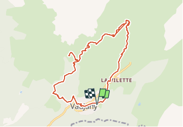
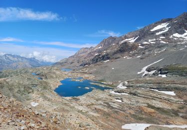
Tour von 11,3 km verfügbar auf Auvergne-Rhone-Alpen, Isère, Vaujany. Diese Tour wird von TPOUPLARD vorgeschlagen.
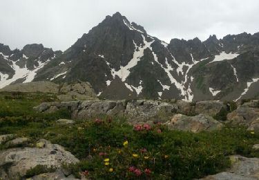
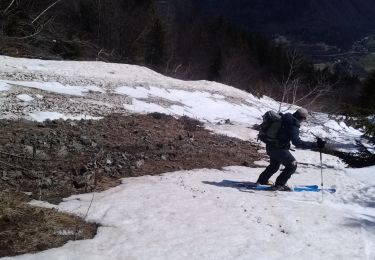
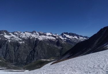
Rando par vaujany jusqu au collet pour voir le magnifique panorama au grand rocher sur les rousses le col du sabot et le col du couard bon dénivelé par moment mais surtout difficile par la longueur le chemin de crete est bien stabilisé par des troncs bref un grand moment de bonheur
Wandern
Wandern
Wandern
Wandern
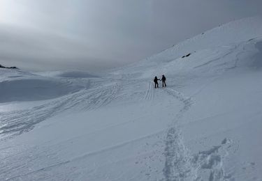
Schneeschuhwandern
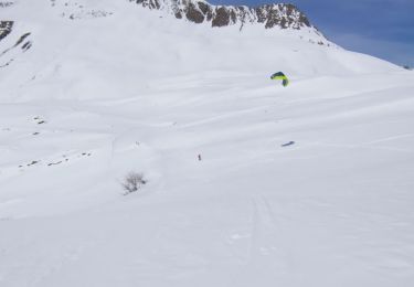
Skiwanderen
Skiwanderen
Skiwanderen
Skiwanderen