


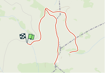


11,7 km | 24 km-effort


Benutzer GUIDE


Kostenlosegpshiking-Anwendung
 SityTrail
IGN / Geografische Institute
SityTrail World
Die Welt öffnet sich für Sie
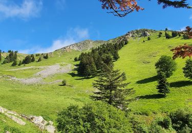
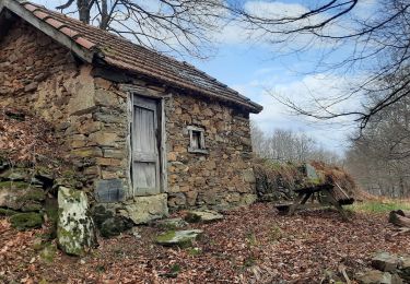
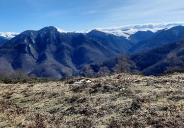
Tour Wandern von 8,8 km verfügbar auf Okzitanien, Hautes-Pyrénées, Nistos. Diese Tour wird von LouisROGER vorgeschlagen.
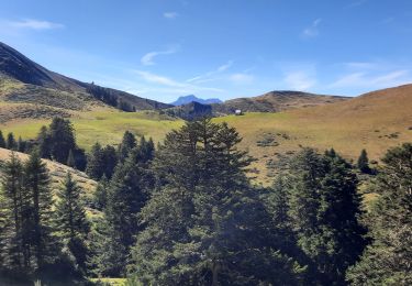
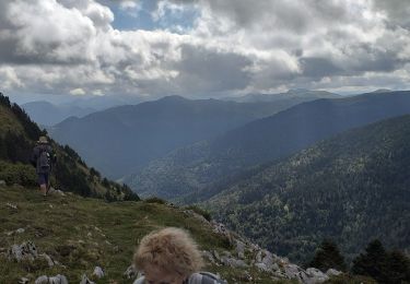
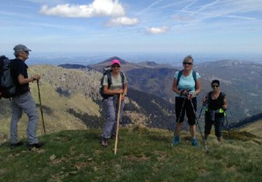
du parking monter jusqu'au pic de DOULY puis descendre et bifurquer et prendre le chemin jusqu'au cimetière anglo canadien puis retour.
Wandern
Wandern
Wandern
Wandern
Wandern
Wandern

Wandern

Wandern
Wandern