


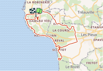

23 km | 28 km-effort


Benutzer GUIDE


Kostenlosegpshiking-Anwendung
 SityTrail
IGN / Geografische Institute
SityTrail World
Die Welt öffnet sich für Sie
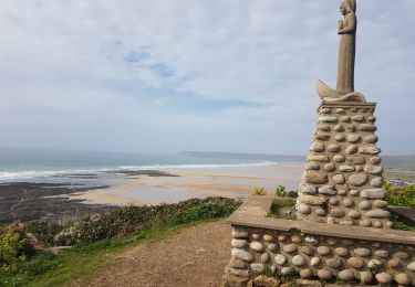
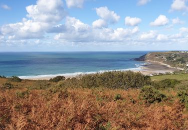
Tour Wandern von 22 km verfügbar auf Normandie, Manche, Flamanville. Diese Tour wird von chessyca vorgeschlagen.
Un trajet pouvant etre optimisé en longeant le grp aux abords de Flamanville par les terres mais quelques km a rajouter

Wandern
Wandern
Wandern

Mountainbike

Mountainbike

Laufen
Wandern
Wandern