


4,3 km | 8,1 km-effort

Benutzer


Kostenlosegpshiking-Anwendung
 SityTrail
IGN / Geografische Institute
SityTrail World
Die Welt öffnet sich für Sie
Tour Wandern von 9,7 km verfügbar auf Unbekannt, Unbekannt, Flitsch. Diese Tour wird von Ko-Rando vorgeschlagen.
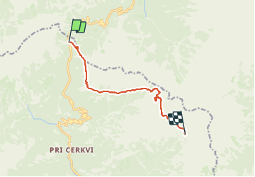
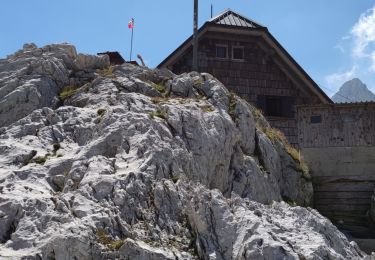
Étape 1: Col de Vršič (1611 m) – Point de vue des filles païennes – Na robu – Plaque de Zadnje – Sedlo Planja (2349) – Pogačnikov dom na Kriških podih (2050 m)
Distance: 9 km
Temps nécessaire: 6:30 heures
Dénivelé positif : 1269 m
Perte d’altitude : 855 m
Altitude minimale: 1607 m
Altitude maximale : 2424 m


22 Fotos insgesamt. Klicken Sie auf ein Foto, um sie alle in der Galerie zu sehen.

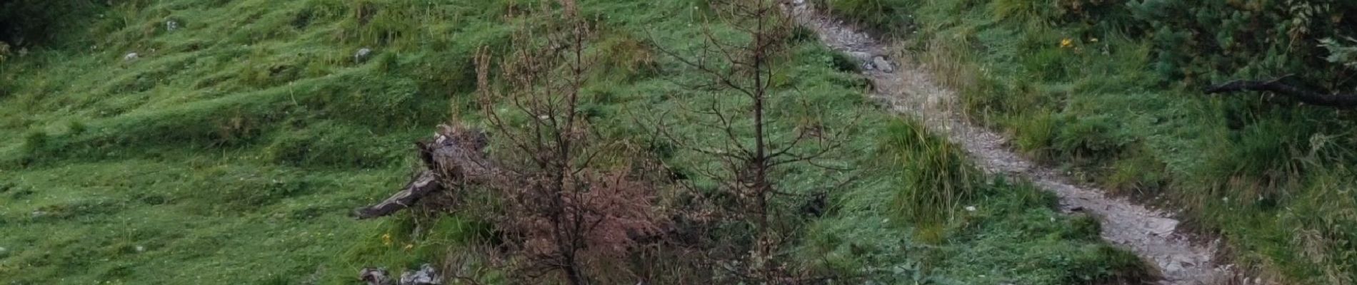
Zu Fuß
Wandern

Zu Fuß

Wandern
Wandern
Wandern
Wandern
Wandern