


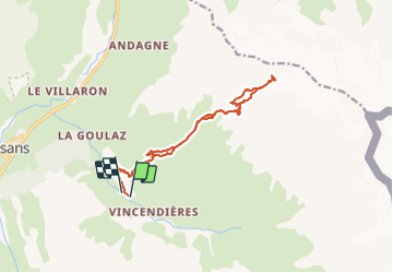


15,6 km | 34 km-effort

Benutzer


Kostenlosegpshiking-Anwendung
 SityTrail
IGN / Geografische Institute
SityTrail World
Die Welt öffnet sich für Sie
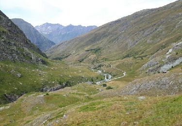
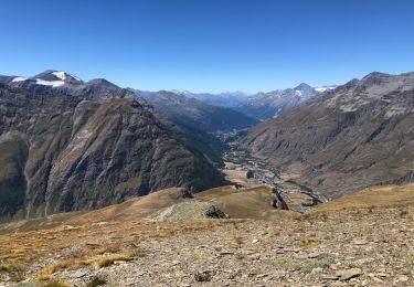
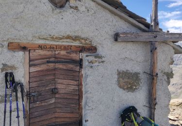
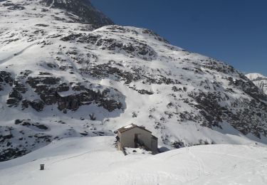
Tour Wandern von 15,8 km verfügbar auf Auvergne-Rhone-Alpen, Savoyen, Bessans. Diese Tour wird von yves12 vorgeschlagen.
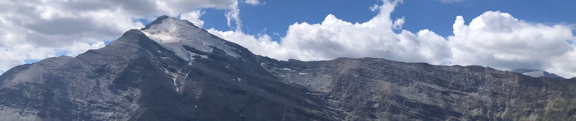
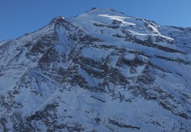
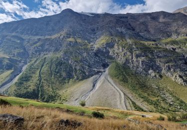
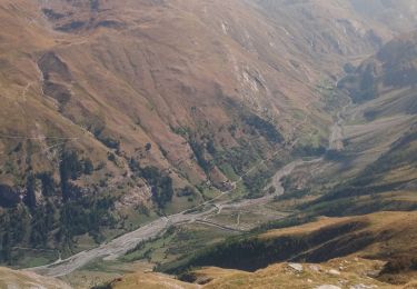
Randonnée sans difficulté technique. Par contre pour se rendre au pied du Glacier du Grand Fond il n'y a ni cairn, ni sente donc suivre la trace ou faire selon son ressenti !


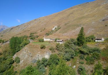
35 Fotos insgesamt. Klicken Sie auf ein Foto, um sie alle in der Galerie zu sehen.
Skiwanderen
Wandern
Wandern
Wandern
Wandern
Wandern
Schneeschuhwandern

Zu Fuß
Wandern