


3,5 km | 5,4 km-effort

Benutzer


Kostenlosegpshiking-Anwendung
 SityTrail
IGN / Geografische Institute
SityTrail World
Die Welt öffnet sich für Sie
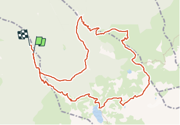
Tour Wandern von 14,5 km verfügbar auf Auvergne-Rhone-Alpen, Isère, Revel. Diese Tour wird von GuyVachet vorgeschlagen.
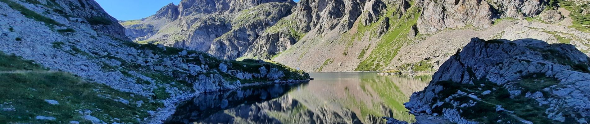
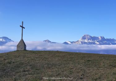
Départ de Pré Raymond, au-dessus des Granges de Freydière, en direction du lac du Crozet. Puis au lac, belle montée en direction du col du Loup avec au passage son lac. La descente du col traverse un pierrier qui offre une vue plongeante sur le La de la Grande Sitre et qui nous amène au col de la Sitre, puis passage au pied du Mont St-Mury et par le refuge du Pré du Molard. Retour par les 3 ruisseaux. Itinéraire varié et exigeant.


Zu Fuß

Zu Fuß
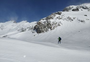
Schneeschuhwandern
Wandern

Wandern

Wandern

Wandern

Wandern

Wandern