


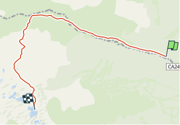

15,1 km | 24 km-effort


Benutzer


Kostenlosegpshiking-Anwendung
 SityTrail
IGN / Geografische Institute
SityTrail World
Die Welt öffnet sich für Sie
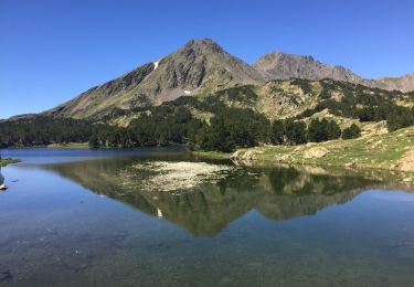
Tour Wandern von 7,3 km verfügbar auf Okzitanien, Ostpyrenäen, Fontrabiouse. Diese Tour wird von skippy6231 vorgeschlagen.
Départ au parking de la vallée du Galbe. Au premier croisement prendre direction les Camporells. On peut aussi plus loin bifurquer à droite pour aller au lac du diable

Wandern


sport

Wandern

Wandern

Schneeschuhwandern
Wandern
Wandern
Wandern