


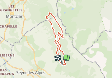

12,7 km | 21 km-effort


Benutzer


Kostenlosegpshiking-Anwendung
 SityTrail
IGN / Geografische Institute
SityTrail World
Die Welt öffnet sich für Sie
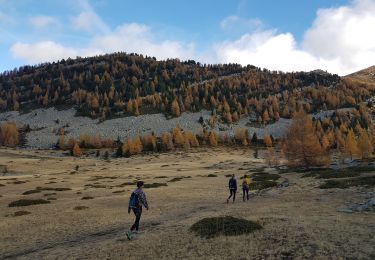
Tour Wandern von 13,8 km verfügbar auf Provence-Alpes-Côte d'Azur, Alpes-de-Haute-Provence, Seyne. Diese Tour wird von Papige vorgeschlagen.
Départ du carrefour de Bellevue, sentier du GR, puis pistes jusqu’à la Chau. Retour par le sentier découverte puis pistes en passant par le clôt des Ayres.

Wandern
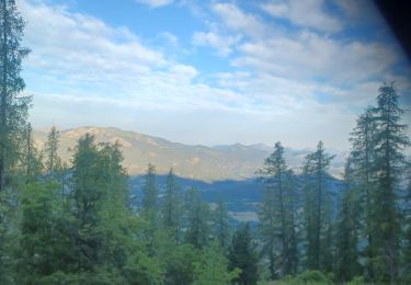
Wandern
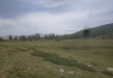
Wandern
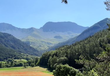
Wandern
Wandern

Wandern
Wandern
Wandern
Wandern