


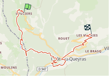

11,7 km | 19,7 km-effort


Benutzer


Kostenlosegpshiking-Anwendung
 SityTrail
IGN / Geografische Institute
SityTrail World
Die Welt öffnet sich für Sie
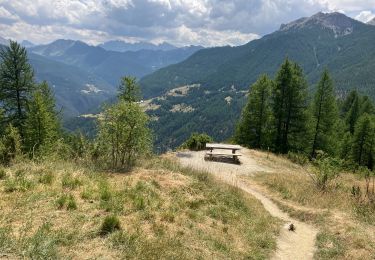
Tour Reiten von 9,6 km verfügbar auf Provence-Alpes-Côte d'Azur, Hochalpen, Château-Ville-Vieille. Diese Tour wird von AnaisLambert vorgeschlagen.
Piste de Péas et chemin de Canal Neuf interdits à la circulation

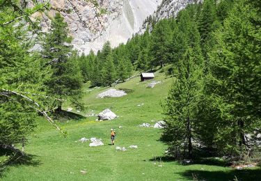
Wandern

Wandern
Klettersteig

Mountainbike

Wandern

Andere Aktivitäten
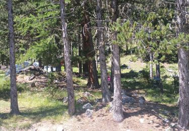
Wandern
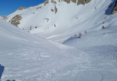
Schneeschuhwandern
Wandern