


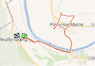

14,1 km | 18,1 km-effort

Benutzer


Kostenlosegpshiking-Anwendung
 SityTrail
IGN / Geografische Institute
SityTrail World
Die Welt öffnet sich für Sie
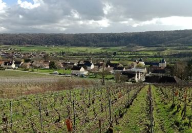
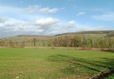
Tour Wandern von 5,7 km verfügbar auf Nordfrankreich, Aisne, Reuilly-Sauvigny. Diese Tour wird von benoit.baillot vorgeschlagen.
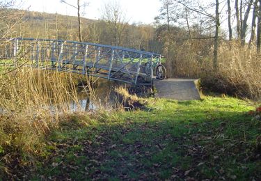
Promenade digestive à partir du Relais à Reuilly. Partie à travers les vignes, passage de la Marne sur le pont de fer.


Wandern

Wandern
Wandern
Wandern
Mountainbike
Wandern
Wandern
Wandern
Wandern