


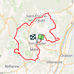

13,2 km | 17,4 km-effort

Randonnées de Vélo Loisir Provence GUIDE+


Kostenlosegpshiking-Anwendung
 SityTrail
IGN / Geografische Institute
SityTrail World
Die Welt öffnet sich für Sie
Tour Fahrrad von 81 km verfügbar auf Provence-Alpes-Côte d'Azur, Alpes-de-Haute-Provence, Forcalquier. Diese Tour wird von Vélo Loisir Provence vorgeschlagen.
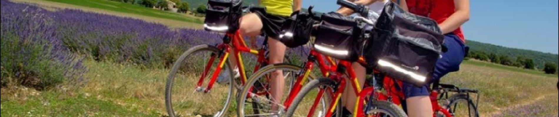
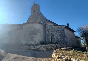
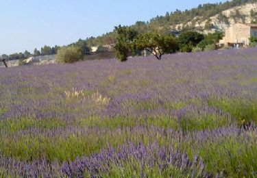
“Le Pays de Forcalquier – Montagne de Lure” by bike : An Authentic itinerary full of contrast ! On the high Provençal plains you will discover the wide variety of their landscapes in infinite colours, perfumes and atmosphere… Man exploited, adapted cultivated the natural products of the region: lavender, olives, honey, truffles… Here it is not unusually to encounter a herd of sheep along the way. Here you will appreciate the authentic charm of the villages you pass through. These itineraries take you into the wildest corner of the Luberon and to Saint-Michel-l’Observatoire reputed to have the purest skies in Europe.


Wandern
Wandern
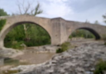
Fahrrad

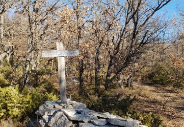
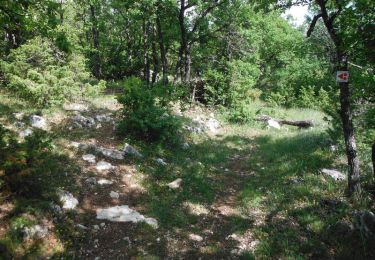
Wandern

Wandern
Mountainbike
Wandern
Wandern
Wandern