


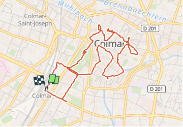

22 km | 32 km-effort

Benutzer


Kostenlosegpshiking-Anwendung
 SityTrail
IGN / Geografische Institute
SityTrail World
Die Welt öffnet sich für Sie
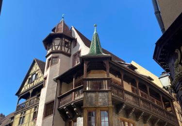
Tour Wandern von 6,4 km verfügbar auf Großer Osten, Oberelsass, Kolmar. Diese Tour wird von Godasses et Grosses Pattes vorgeschlagen.
boucle pour découvrir Colmar
et stationnement au parking de la gare du nord (payant du lundi au samedi de 9h-19h 1,90 de l'heure)
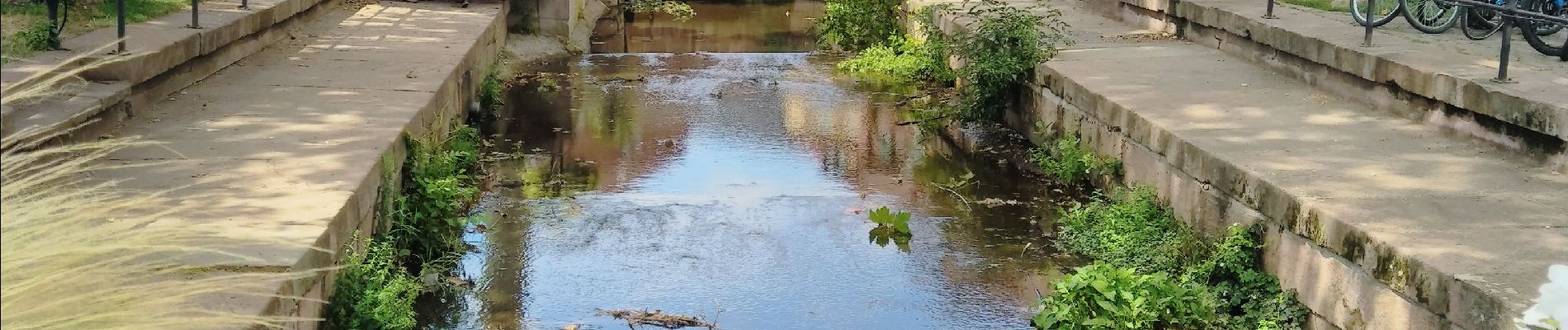
 - Photo 1")
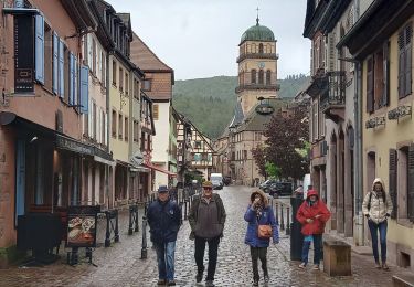
 - Photo 2")
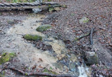
 - Photo 3")
 - Photo 4")
 - Photo 5")
 - Photo 6")
 - Photo 7")
 - Photo 8")
 - Photo 9")
 - Photo 10")

Wandern

Laufen

Wandern

Wandern
Wandern
Wandern
Wandern

Rennrad
Wandern