


8,8 km | 10,5 km-effort


Benutzer GUIDE


Kostenlosegpshiking-Anwendung
 SityTrail
IGN / Geografische Institute
SityTrail World
Die Welt öffnet sich für Sie
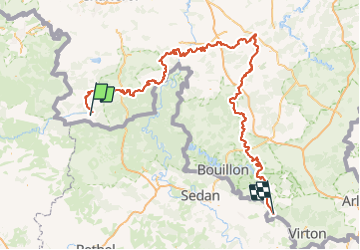
Tour Wandern von 289 km verfügbar auf Wallonien, Hennegau, Chimay. Diese Tour wird von mumu.larandonneuse vorgeschlagen.
La Randonnée des Abbayes Trappistes de Wallonie relie Orval, Rochefort et Chimay. Parcourez les 290 km d’une abbaye trappiste à l’autre à votre rythme et découvrez toutes les richesses de la Wallonie, sa nature et sa gastronomie. Le parcours de 290 km se compose de 2 parcours : Orval à Rochefort (116 km) et Rochefort à Chimay (174 km). Plus d'infos: walloniebelgiquetourisme.be/fr-be/content/sentier-des-abbayes-trappistes-de-wallonie-chimay-rochefort-et-orval
Wandern
Wandern
Wandern

Wandern
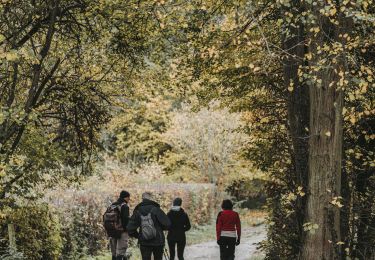
Zu Fuß
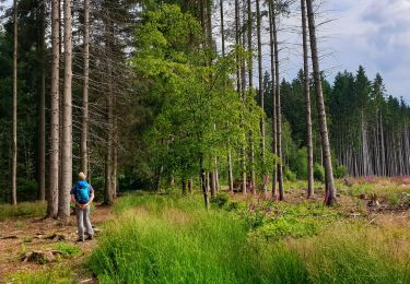
Wandern
Wandern

Wandern
Wandern