


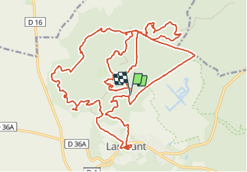


9,7 km | 12,3 km-effort

Benutzer GUIDE


Kostenlosegpshiking-Anwendung
 SityTrail
IGN / Geografische Institute
SityTrail World
Die Welt öffnet sich für Sie
Tour Wandern von 19,6 km verfügbar auf Île-de-France, Seine-et-Marne, Larchant. Diese Tour wird von chessyca vorgeschlagen.
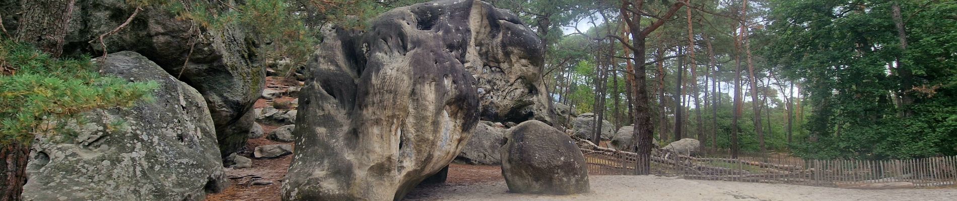
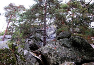
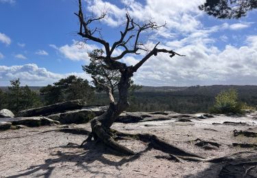
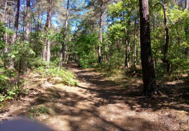
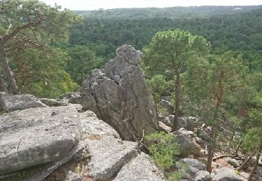
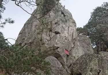
Peintures rupestres, bestiaire de rochers et points de vue spectaculaires


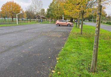
24 Fotos insgesamt. Klicken Sie auf ein Foto, um sie alle in der Galerie zu sehen.
Zu Fuß
Wandern
Wandern
Nordic Walking
Wandern

Wandern
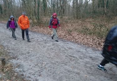
Wandern
Wandern
Wandern