


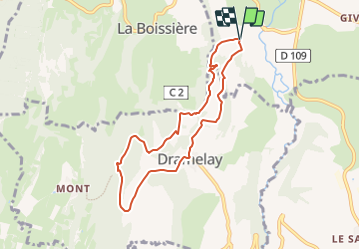

28 km | 37 km-effort


Benutzer


Kostenlosegpshiking-Anwendung
 SityTrail
IGN / Geografische Institute
SityTrail World
Die Welt öffnet sich für Sie
Tour Zu Fuß von 7,4 km verfügbar auf Burgund und Freigrafschaft, Jura, Valzin-en-Petite-Montagne. Diese Tour wird von LebeauPhil vorgeschlagen.
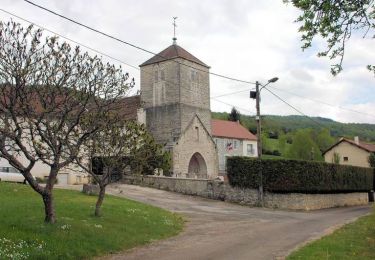
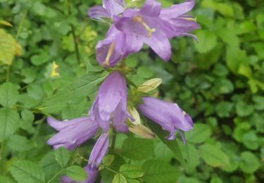
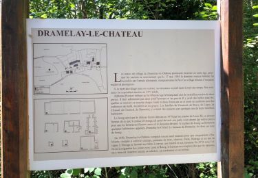
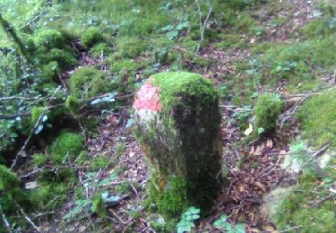
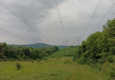
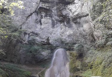
Beau circuit nature avec très peu de bitume, pour découvrir cette région du Jura nommée Petite Montagne. Belle ambiance un peu magique dans la vallée du dard et aux ruines de Dramelay.
Fahrrad

Wandern
Wandern
Wandern
Wandern

Andere Aktivitäten
Reiten
Wandern
Wandern