


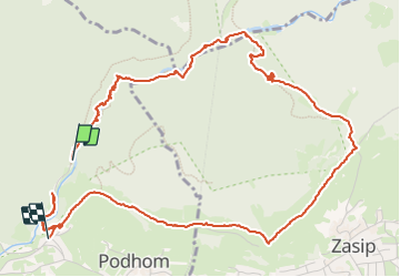

3,7 km | 7,3 km-effort


Benutzer


Kostenlosegpshiking-Anwendung
 SityTrail
IGN / Geografische Institute
SityTrail World
Die Welt öffnet sich für Sie
Tour Wandern von 6,7 km verfügbar auf Unbekannt, Unbekannt, Göriach. Diese Tour wird von JM Heine vorgeschlagen.
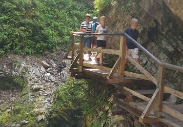
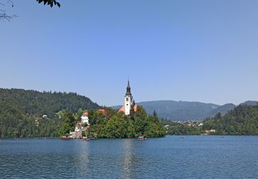
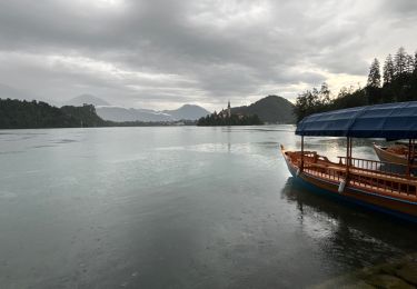
Incontournable à Bled !
Voitures : se garer au P3 (7€/4h prix été 2023) d’où une navette gratuite vous emmène à l’entrée de ce magnifique site ! PPRENDRE LE TEMPS ET PROFITER !
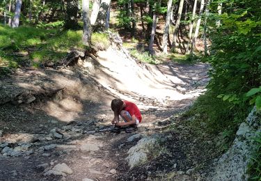
Zu Fuß
Zu Fuß
Wandern

Wandern
Wandern
Wandern


sport