


9,1 km | 10,9 km-effort

Benutzer


Kostenlosegpshiking-Anwendung
 SityTrail
IGN / Geografische Institute
SityTrail World
Die Welt öffnet sich für Sie
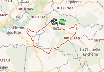
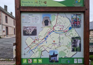
Tour Wandern von 13,8 km verfügbar auf Zentrum-Loiretal, Loir-et-Cher, Renay. Diese Tour wird von guydu41 vorgeschlagen.
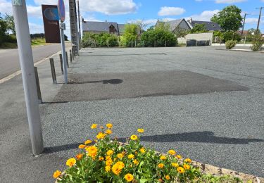
Le parcours commence depuis le parking devant la Mairie de Renay 41100.
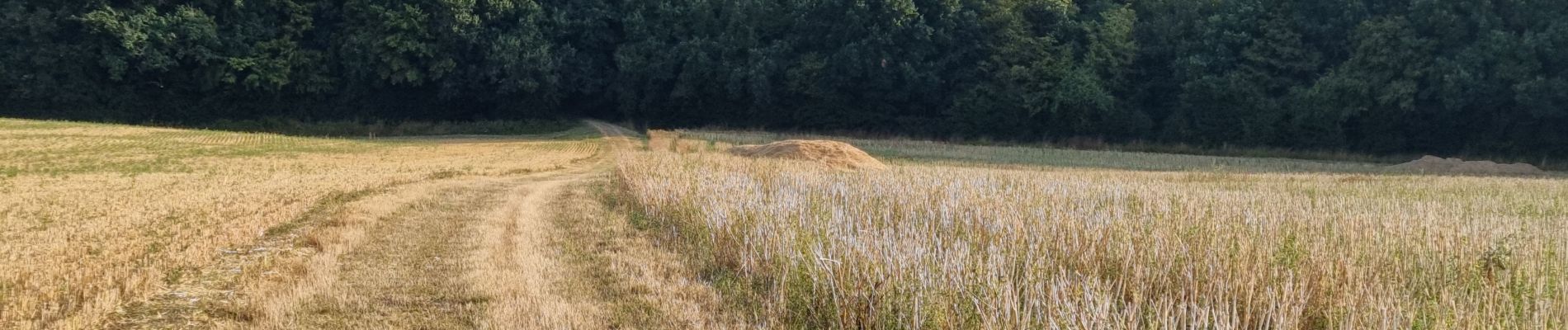
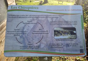
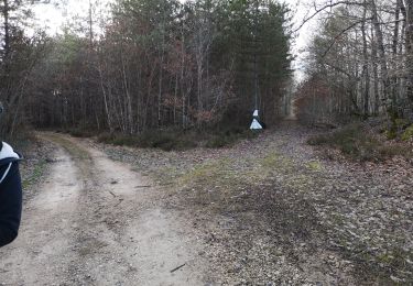
Ce circuit avec peu de dénivelé emprunte des chemins et de petites routes, au milieu des champs, dans des bois, en fond de vallon, le long de petits ruisseaux.
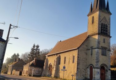
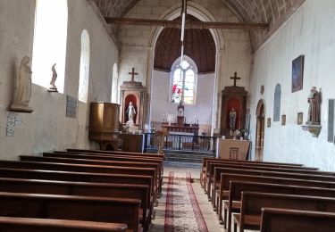
Passage à côté de la chapelle Saint-Vrain, un crucifix, l'église Saint-Gilles.
Traversé de jolis petits hameaux perdus dans la campagne.
Ce circuit sur des voies communales emprunte parfois des passages balisés jaune et/ou violet.


25 Fotos insgesamt. Klicken Sie auf ein Foto, um sie alle in der Galerie zu sehen.
Wandern

Wandern
Wandern
Wandern
Wandern
Wandern
Wandern

Wandern
Wandern