


12 km | 26 km-effort


Benutzer


Kostenlosegpshiking-Anwendung
 SityTrail
IGN / Geografische Institute
SityTrail World
Die Welt öffnet sich für Sie
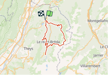
Tour Wandern von 51 km verfügbar auf Auvergne-Rhone-Alpen, Isère, Allevard. Diese Tour wird von Camille Lecoutre 2 vorgeschlagen.
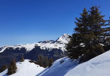
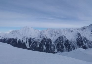
Haute Belledone
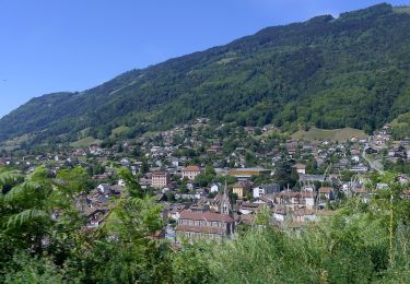
Le Tour du pays d’Allevard, c’est avant tout un GR® de Pays qui offre des panoramas magnifiques. Au départ d’Allevard-les-Bains, cette itinérance de 78 km vous transporte au cœur de la chaîne de Belledonne et vous offre des vues imprenables sur le Puy Gris, l’un des plus hauts sommets de Belledonne, les Grands Moulins ou encore la Pointe de Rognier. Se réalisant principalement à une altitude inférieure à 2100 mètres, le tour du Pays d’Allevard peut se réaliser entre 3 et 5 jours de marche.

Wandern
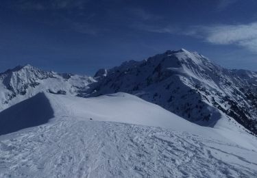
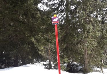
Skiwanderen
Wandern
Wandern

Zu Fuß
Zu Fuß
Zu Fuß
Skiwanderen
Schneeschuhwandern