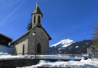
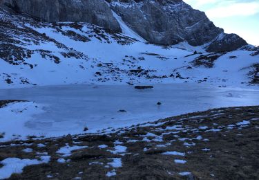
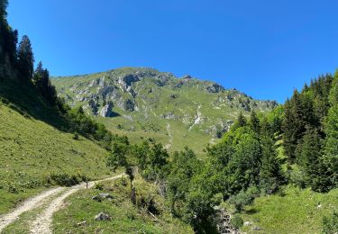
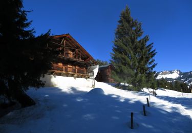
3,6 km | 4,8 km-effort
Circuit 24 bleu Tour de la Foilleuse
Les Portes du Soleil
Parcours Randos, VTT-AE et Trail Running en été
Länge
7,1 km
Maximale Höhe
1889 m
Positive Höhendifferenz
73 m
Km-Effort
9,7 km
Min. Höhe
1319 m
Negative Höhendifferenz
569 m
Boucle
Nein
Erstellungsdatum :
2023-07-18 09:37:55.515
Letzte Änderung :
2023-07-18 09:37:55.515
--
Schwierigkeit : Unbekannt
Kostenlosegpshiking-Anwendung
Über SityTrail
Tour Pfad von 7,1 km verfügbar auf Wallis, Monthey, Troistorrents. Diese Tour wird von Les Portes du Soleil vorgeschlagen.
Ort
Land:
Switzerland
Region :
Wallis
Abteilung/Provinz :
Monthey
Kommune :
Troistorrents
Standort:
Unknown
Gehen Sie:(Dec)
Gehen Sie:(UTM)
335064 ; 5121263 (32T) N.
Kommentare
Touren in der Umgebung
Randonnée entre la France et la suisse
Schneeschuhwandern
Einfach
Châtel,
Auvergne-Rhone-Alpen,
Hochsavoyen,
France
5,8 km | 8,5 km-effort
2h 3min
Ja
Dents de Midi, Lac de Soi
Wandern
Sehr leicht
(1)
Val-d'Illiez,
Wallis,
Monthey,
Switzerland
5,1 km | 9,8 km-effort
2h 30min
Ja
Lac de Soi
Wandern
Sehr schwierig
Val-d'Illiez,
Wallis,
Monthey,
Switzerland
14,6 km | 30 km-effort
5h 19min
Ja
Les Mattes
Wandern
Schwierig
Châtel,
Auvergne-Rhone-Alpen,
Hochsavoyen,
France
11,1 km | 22 km-effort
5h 42min
Ja
les Québales
Schneeschuhwandern
Schwierig
Châtel,
Auvergne-Rhone-Alpen,
Hochsavoyen,
France
3 km | 8,4 km-effort
2h 0min
Nein
Morgins - circuit Bonavau, La Truche,La Foilleuse, Savolaire 29.09.18
Wandern
Medium
Troistorrents,
Wallis,
Monthey,
Switzerland
15,1 km | 23 km-effort
4h 50min
Ja
La Foilleuze - Madzé - Morgins
Schneeschuhwandern
Sehr leicht
Troistorrents,
Wallis,
Monthey,
Switzerland
5,1 km | 7 km-effort
1h 47min
Nein
Châtel tennis - Chapelle d'Abond
Schneeschuhwandern
Sehr leicht
Châtel,
Auvergne-Rhone-Alpen,
Hochsavoyen,
France
6,9 km | 10 km-effort
2h 31min
Nein