


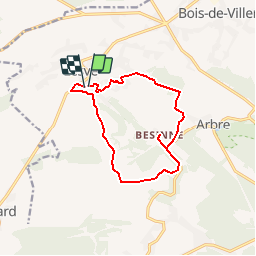


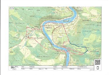
16,7 km | 21 km-effort

Benutzer GUIDE


Kostenlosegpshiking-Anwendung
 SityTrail
IGN / Geografische Institute
SityTrail World
Die Welt öffnet sich für Sie
Tour Wandern von 11 km verfügbar auf Wallonien, Namur, Profondeville. Diese Tour wird von Desrumaux vorgeschlagen.
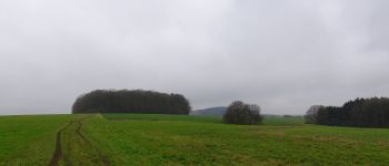
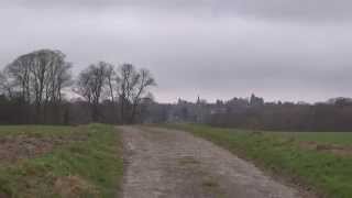
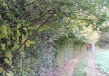
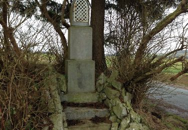
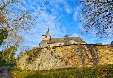
Jolie balade dans la belle entité mosane de Profondeville, du village de Lesve au hameau de Besinne.Départ: Eglise de Lesve.


Wandern

Wandern

Wandern

Wandern
Wandern
Wandern

Wandern
Wandern
Wandern
superbe 👍
tres bien
zeer mooie wandeling. merci aan de maker!