


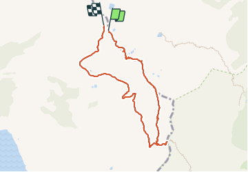

24 km | 34 km-effort
La balade du dimanche


Kostenlosegpshiking-Anwendung
 SityTrail
IGN / Geografische Institute
SityTrail World
Die Welt öffnet sich für Sie
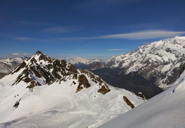
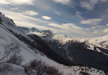
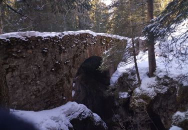
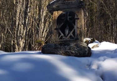
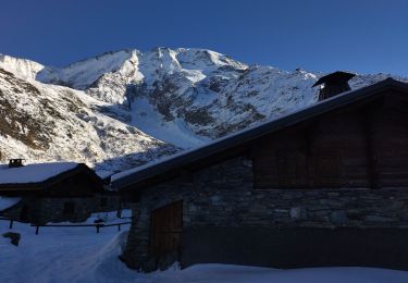
Tour Wandern von 8,8 km verfügbar auf Auvergne-Rhone-Alpen, Hochsavoyen, Les Contamines-Montjoie. Diese Tour wird von La balade du dimanche vorgeschlagen.
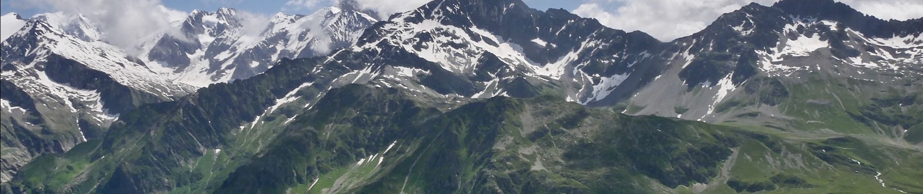
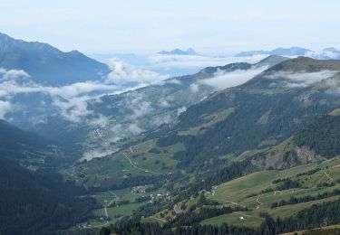
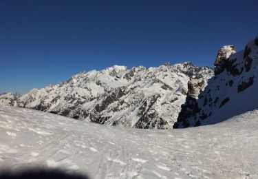
Les SAISIES 2023-07-06 2:15pm

Wandern

Wandern
Skiwanderen
Skiwanderen
Skiwanderen
Skiwanderen
Skiwanderen
Skiwanderen

Skiwanderen