


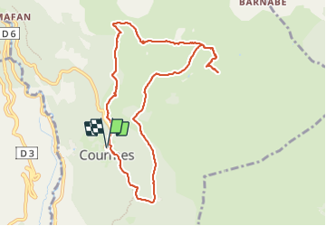


7,2 km | 11,2 km-effort

Benutzer


Kostenlosegpshiking-Anwendung
 SityTrail
IGN / Geografische Institute
SityTrail World
Die Welt öffnet sich für Sie
Tour Wandern von 10,6 km verfügbar auf Provence-Alpes-Côte d'Azur, Seealpen, Courmes. Diese Tour wird von boulinevelyne vorgeschlagen.
Rando faite avec le groupe reco le 04/07/2023
Moins de 11 Km car j'ai fait un peu d'aller retour.
A faire en sac à dos
Plusieurs variantes possibles suivant le groupe et la météo.


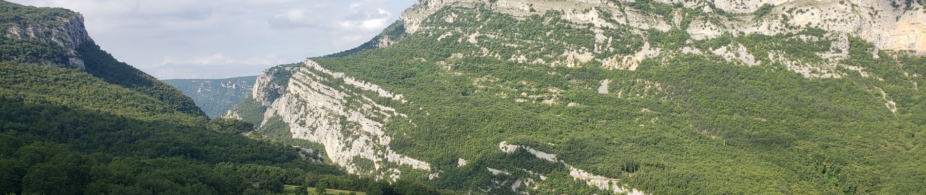
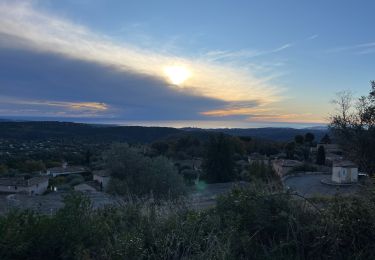
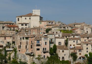
23 Fotos insgesamt. Klicken Sie auf ein Foto, um sie alle in der Galerie zu sehen.

Wandern

Wandern
Wandern

Wandern

Wandern

Wandern
Zu Fuß

Zu Fuß

Zu Fuß