


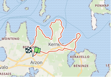

8,5 km | 9,3 km-effort


Benutzer


Kostenlosegpshiking-Anwendung
 SityTrail
IGN / Geografische Institute
SityTrail World
Die Welt öffnet sich für Sie
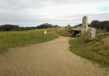
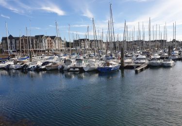
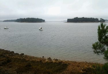
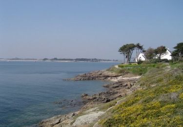
Tour Wandern von 8,8 km verfügbar auf Bretagne, Morbihan, Arzon. Diese Tour wird von dufland vorgeschlagen.
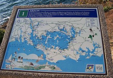
Retrouvez ce circuit dans le Topoguide de Randonnée de la Presqu'ïle de Rhuys disponible dans les offices de tourisme de Sarzeau, Arzon, Saint Gildas et St Colombier. (18 circuits)http://www.rhuys.com/balades-rando-golfe-du-morbihan.php
Wandern
Wandern
Wandern
Wandern

Wandern
Wandern
Laufen
Wandern
Wandern