


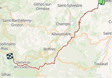

31 km | 41 km-effort


Benutzer GUIDE


Kostenlosegpshiking-Anwendung
 SityTrail
IGN / Geografische Institute
SityTrail World
Die Welt öffnet sich für Sie
Tour Reiten von 26 km verfügbar auf Auvergne-Rhone-Alpen, Ardèche, Saint-Romain-de-Lerps. Diese Tour wird von holtzv vorgeschlagen.
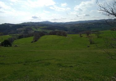
St Romain de Lerps à Vernoux en Vivarais, domaine des Blanches chez Mathilde. Pique nique à la croix St André.

Mountainbike

Wandern
Wandern

sport

Wandern
Wandern
Wandern
Wandern

Wandern