


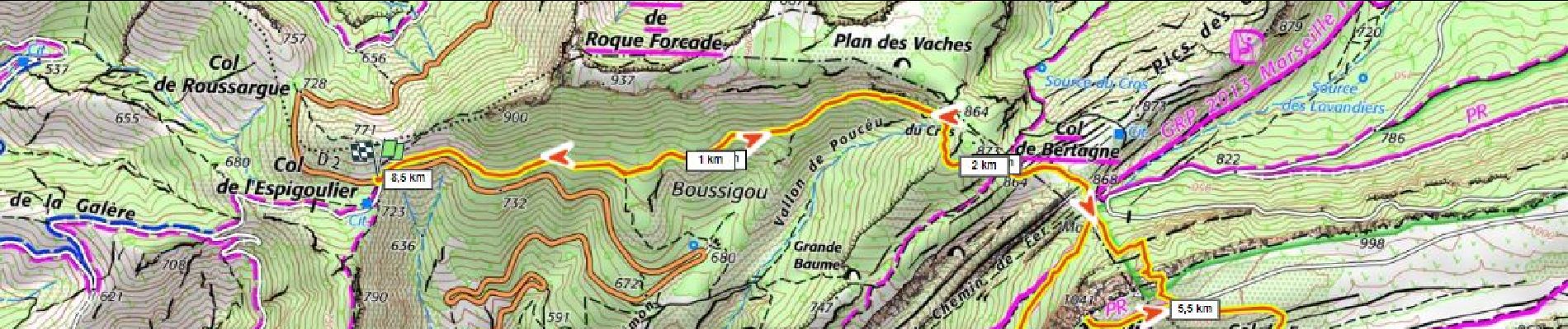
11,7 km | 18,6 km-effort

Benutzer


Kostenlosegpshiking-Anwendung
 SityTrail
IGN / Geografische Institute
SityTrail World
Die Welt öffnet sich für Sie
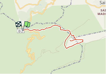
Tour Wandern von 8,7 km verfügbar auf Provence-Alpes-Côte d'Azur, Bouches-du-Rhône, Gémenos. Diese Tour wird von ericberlin vorgeschlagen.
Magnifique panorama.
A faire par temps clair mais en l'absence de Mistral.
L’été, consulter la carte des autorisations d’accès au massifs forestiers dans le 13 en fonction du risque d’incendies : 0811 20 13 13
http://bpatp.paca-ate.fr/


Wandern

Wandern

Wandern

Wandern

Wandern

Mountainbike

Wandern

Wandern

Wandern