


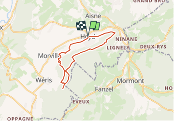

8,1 km | 10,8 km-effort


Benutzer


Kostenlosegpshiking-Anwendung
 SityTrail
IGN / Geografische Institute
SityTrail World
Die Welt öffnet sich für Sie
Tour Wandern von 10,4 km verfügbar auf Wallonien, Luxemburg, Durbuy. Diese Tour wird von dejongm vorgeschlagen.
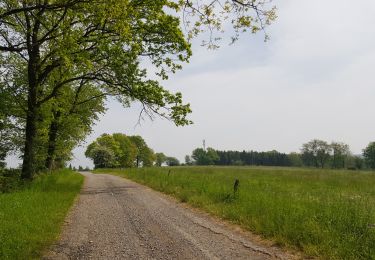
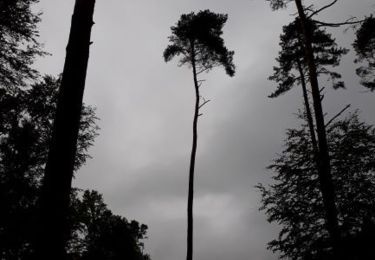
Magnifique promenade fort boisée.
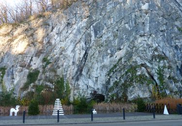
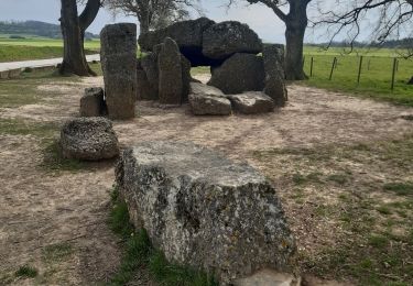
Le lit du diable, la Pierre Heina, le Col du Rideux et le Hé des Pourceaux sont autant de magnifiques lieux à voir.
Un petit banc sympathique permettra de faire un break au Refuge du Brocard

Wandern

Wandern
Wandern

Wandern

Wandern
Wandern
Wandern
Wandern
Wandern