Tour Auto The Municipal District of Athlone — Moate - j06-3 - Photo
 DUPORT16
DUPORT16

Benutzer

© OpenStreetMap contributors
Länge
Länge
27 km
Maximale Höhe
Maximale Höhe
77 m
Positive Höhendifferenz
171 m
Km-Effort
Km-Effort  
29 km
Min. Höhe
Min. Höhe
34 m
Negative Höhendifferenz
174 m
Boucle
Boucle
Nein
Erstellungsdatum :
2023-05-29 13:37:59.189
Letzte Änderung :
2023-05-29 14:08:15.446

(0 Nachricht)

Auto
Auto
29m
Schwierigkeit : Sehr leicht

Scannen Sie diesen QR-Code, um die Tour in der SityTrail-Anwendung zu öffnen

Kostenlosegpshiking-Anwendung

Logo SityTrail SityTrail

IGN / Geografische Institute

SityTrail aus dem App Store herunterladen SityTrail von Google Play herunterladen

Logo SityTrail SityTrail World

Die Welt öffnet sich für Sie

SityTrail aus dem App Store herunterladen SityTrail von Google Play herunterladen SityTrail auf Huawei AppGallery herunterladen

Über SityTrail

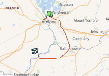
Tour Auto von 27 km verfügbar auf Unbekannt, County Westmeath, The Municipal District of Athlone — Moate. Diese Tour wird von DUPORT16 vorgeschlagen.

Höhenprofil

Ort

Land:
Ireland
Region :
Unbekannt
Abteilung/Provinz :
County Westmeath
Kommune :
The Municipal District of Athlone — Moate
Standort:
Athlone West Urban ED
Gehen Sie:(Dec)
Gehen Sie:(UTM)
569266 ; 5920052 (29U) N.

Touren in der Umgebung

Tour Auto Birr - j06-4 - Photo
Auto
DUPORT16

Auto

Sehr leicht
Birr, Unbekannt, County Offaly, Ireland
139 km | 151 km-effort
2h 23min
Nein
Tour Wandern Birr - gallen priory - Photo
Wandern
PatnBer

Wandern

Sehr leicht
Birr, Unbekannt, County Offaly, Ireland
107 m | 110 m-effort
2min
Nein


Schließen
Meine Abonnements