


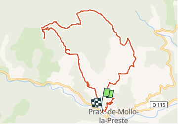


14,5 km | 24 km-effort

Benutzer


Kostenlosegpshiking-Anwendung
 SityTrail
IGN / Geografische Institute
SityTrail World
Die Welt öffnet sich für Sie
Tour Wandern von 12,9 km verfügbar auf Okzitanien, Ostpyrenäen, Prats-de-Mollo-la-Preste. Diese Tour wird von 66Gribouille83 vorgeschlagen.
moyenne toute saison


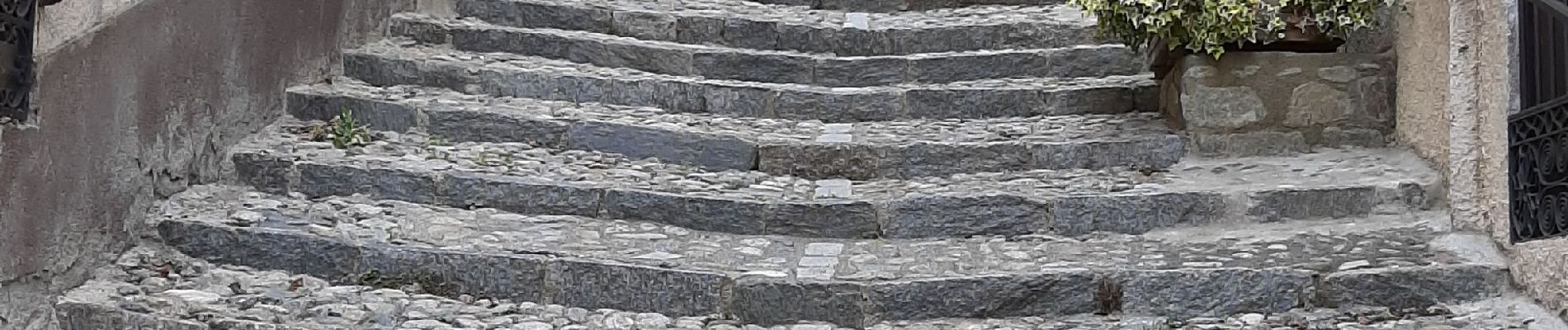
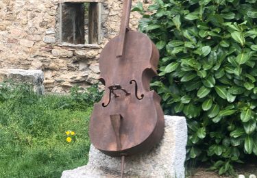
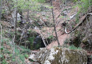
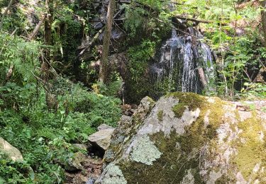
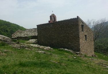
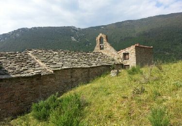
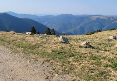
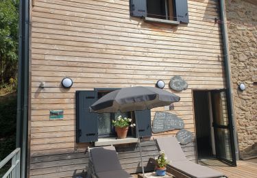
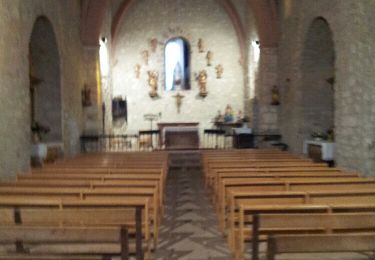
21 Fotos insgesamt. Klicken Sie auf ein Foto, um sie alle in der Galerie zu sehen.
Wandern
Wandern

Wandern
Wandern
Wandern
Wandern
Wandern
Wandern