41 km | 54 km-effort
28 mai 2023
mimi53
Benutzer
Länge
2,3 km
Maximale Höhe
79 m
Positive Höhendifferenz
31 m
Km-Effort
2,7 km
Min. Höhe
61 m
Negative Höhendifferenz
33 m
Boucle
Ja
Erstellungsdatum :
2023-05-28 18:02:21.079
Letzte Änderung :
2023-05-28 19:08:54.196
1h06
Schwierigkeit : Einfach
Kostenlosegpshiking-Anwendung
Über SityTrail
Tour Wandern von 2,3 km verfügbar auf Normandie, Orne, Ménil-Hubert-sur-Orne. Diese Tour wird von mimi53 vorgeschlagen.
Beschreibung
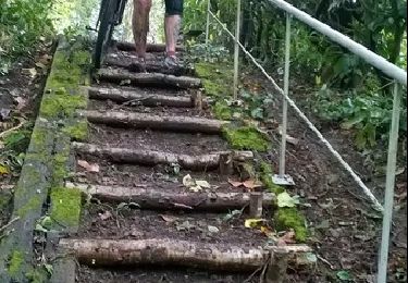
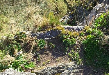
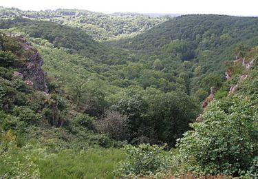
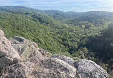
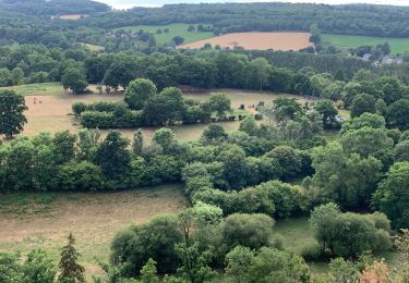
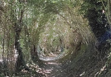
balade autour du camping
Ort
Land:
France
Region :
Normandie
Abteilung/Provinz :
Orne
Kommune :
Ménil-Hubert-sur-Orne
Standort:
Unknown
Gehen Sie:(Dec)
Gehen Sie:(UTM)
690890 ; 5413346 (30U) N.
Kommentare
Touren in der Umgebung
La Petite Suisse Normande 2014 - Pont-d'Ouilly
Mountainbike
Schwierig
(1)
Pont-d'Ouilly,
Normandie,
Calvados,
France
3h 30min
Ja
Autour des roches d'oetre
Wandern
Einfach
(3)
Saint-Philbert-sur-Orne,
Normandie,
Orne,
France
9,7 km | 12,4 km-effort
2h 30min
Ja
Rando botanique - Ségrie Fontaine
Wandern
Medium
(2)
Athis-Val-de-Rouvre,
Normandie,
Orne,
France
10,4 km | 13,4 km-effort
3h 40min
Ja
Roche d’oëtre sentier du Granite
Wandern
Sehr leicht
Saint-Philbert-sur-Orne,
Normandie,
Orne,
France
10,1 km | 12,7 km-effort
2h 43min
Ja
Circuit des méandres
Wandern
Medium
Saint-Philbert-sur-Orne,
Normandie,
Orne,
France
6,4 km | 8,4 km-effort
1h 54min
Ja
De Rouvroy aux Roches d'Oetre par le sentier des Méandres
Wandern
Medium
Ménil-Hubert-sur-Orne,
Normandie,
Orne,
France
7,1 km | 9,3 km-effort
2h 1min
Ja
Les Fontaines
Zu Fuß
Einfach
(1)
Athis-Val-de-Rouvre,
Normandie,
Orne,
France
5,7 km | 7,3 km-effort
1h 38min
Ja
Sentier du granite
Zu Fuß
Einfach
(1)
Athis-Val-de-Rouvre,
Normandie,
Orne,
France
8,6 km | 11 km-effort
2h 30min
Ja
Entre Orne et Rouvre
Zu Fuß
Einfach
Saint-Philbert-sur-Orne,
Normandie,
Orne,
France
7,7 km | 10,3 km-effort
2h 19min
Ja