


4,7 km | 6,4 km-effort

Benutzer


Kostenlosegpshiking-Anwendung
 SityTrail
IGN / Geografische Institute
SityTrail World
Die Welt öffnet sich für Sie
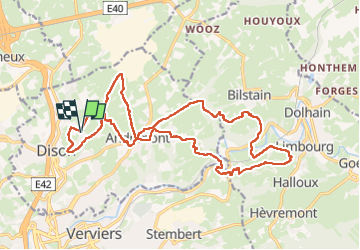
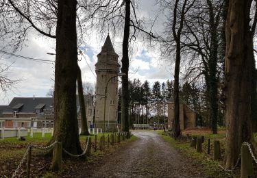
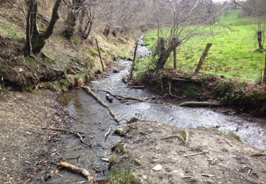
Tour Wandern von 20 km verfügbar auf Wallonien, Lüttich, Dison. Diese Tour wird von jeangulu vorgeschlagen.
Point de départ : Cercle Royal Saint Jean-Baptiste _ Rue de Mont 155 _ 4820 - DISON.
Organisateur : LG 185 _ LES PIEDS MONTOIS.
Carte IGN : 48/8.
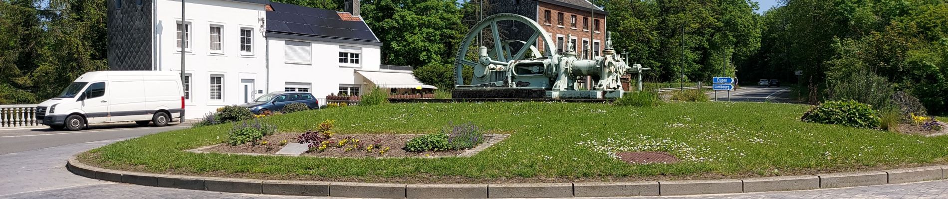
Marche du jour.


Wandern

Wandern

Wandern

Wandern
Wandern
Wandern
Wandern

Mountainbike
Wandern