


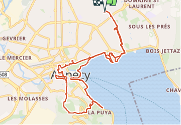

32 km | 52 km-effort

Benutzer


Kostenlosegpshiking-Anwendung
 SityTrail
IGN / Geografische Institute
SityTrail World
Die Welt öffnet sich für Sie
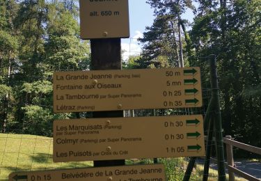
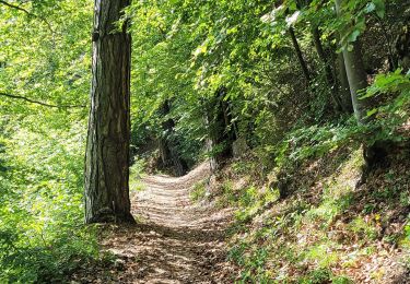
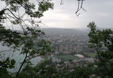
Tour Wandern von 14,4 km verfügbar auf Auvergne-Rhone-Alpen, Hochsavoyen, Annecy. Diese Tour wird von mzonzon05 vorgeschlagen.
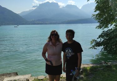
Découverte d'Annecy par ses plages et ses rues touristiques.
Un régal quand il n'y a pas trop de monde.


Fahrrad
Mountainbike
Wandern
Hybrid-Bike
Wandern
Wandern
Wandern
Radtourismus
Wandern