


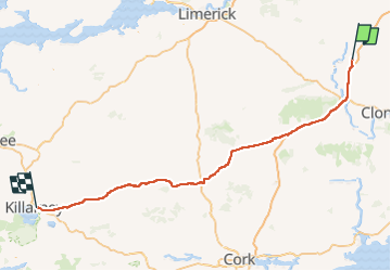

5,5 km | 7,4 km-effort


Benutzer


Kostenlosegpshiking-Anwendung
 SityTrail
IGN / Geografische Institute
SityTrail World
Die Welt öffnet sich für Sie
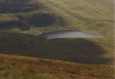
Tour Auto von 141 km verfügbar auf Unbekannt, County Tipperary, The Municipal District of Cahir — Cashel. Diese Tour wird von DUPORT16 vorgeschlagen.
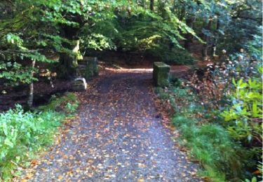
Wandern
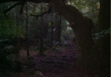
Wandern
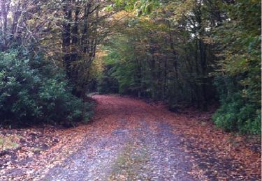
Wandern
Wandern

Laufen
Laufen
Laufen

Wandern
Wandern