


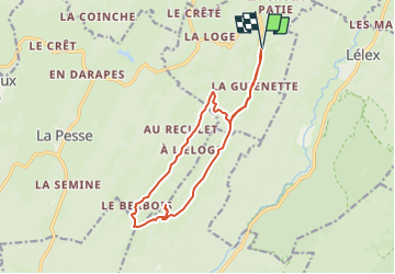

8,4 km | 12,3 km-effort


Benutzer


Kostenlosegpshiking-Anwendung
 SityTrail
IGN / Geografische Institute
SityTrail World
Die Welt öffnet sich für Sie
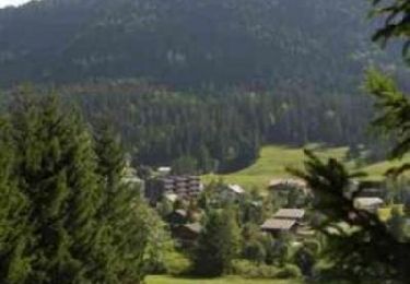
Tour Wandern von 14 km verfügbar auf Burgund und Freigrafschaft, Jura, Bellecombe. Diese Tour wird von cath310 vorgeschlagen.
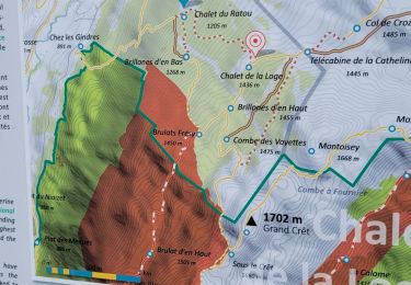
D/R parling "les 3 cheminées" puis direction Maison-Neuves et BELLECOMBE en bas à droite
ne pas manquer panoramique CRET AU MERLE alt.1445m
difficulté : modérée
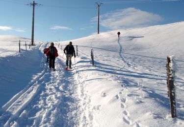
Schneeschuhwandern
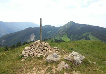
Wandern
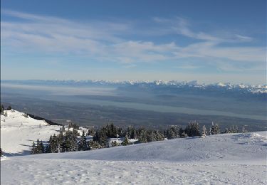
Schneeschuhwandern
Mountainbike
Wandern

Wandern
Wandern
Wandern
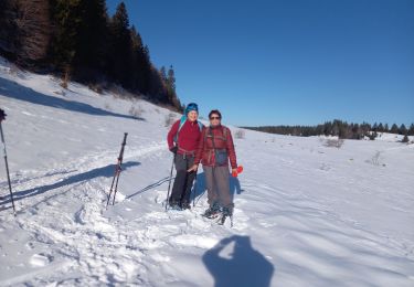
Schneeschuhwandern